How do we determine flood risk?
That’s a question we get asked a lot. And for good reason.
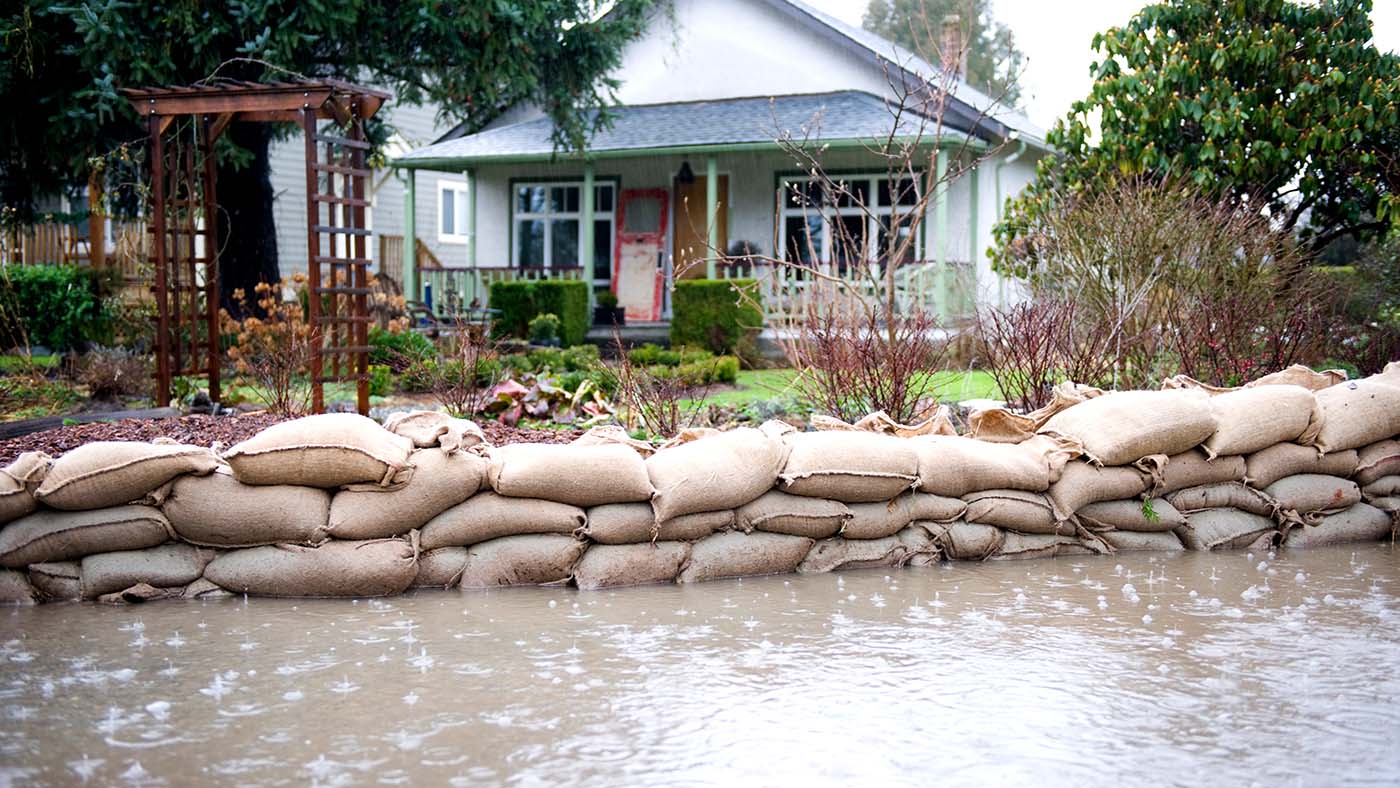
In recent years, extreme weather has contributed to record levels of water damage to homes – costing Canadians, on average, more than $1 billion per year in insured losses since 2008. With water-related events now the most common type of natural disaster in Canada, it’s a trend we expect will continue.
Therefore, you want the right coverage for your location and home. And, to help you make the best, most-informed decision, here’s how we determine flood risk for communities across the country.
Assessing history and determining risk
What if a flood hasn’t occurred in your area for a long time? Flood history is just one element used in determining flood risk. A flood may not have occurred within a location’s recorded history, but that doesn’t mean one hasn’t happened in the distant past or won’t happen in the future.
And today’s unpredictable weather makes trends even less reliable. More than ever, the use of external data sources and models are required to accurately predict flood risks.
When evaluating water risk, we rely on a model that is among the most advanced tools in Canadian flood mapping. It considers factors such as:
- Rainfall amounts
- Snow accumulation
- Proximity to water
- Government-controlled defenses, like channels and dams
- Type of terrain
- Elevation
- River flow
- Soil absorption
Identifying flood zones
Flood zones are land areas with high risk of flooding. Along with the factors listed above, experts identify flood zones by studying a community’s flooding history, rainfall and river-flow data, topography and any flood-control measures that are in place.
Local infrastructure also plays a big part: poor drainage systems, the rapid accumulation of rainfall and snowmelt, and inadequate drainage systems (and broken water mains) can all lead to flooding.
Community structures that are built for the purpose of flood protection – such as dikes, dams, berms and sea walls – are strongly considered in the assessment of flood risk; however, they do not fully eliminate the risk of flood damage.
What’s your flood risk? Take our online Water Risk Assessment to find out.
Keeping the flood model current
As a crucial part of our business, we continue to research and collect local information and maps for communities across Canada – noting when communities work to reduce their flood risk.
At The Co-operators, we’re fully committed to reviewing the way we evaluate risk, and making updates when necessary. Because, ultimately, that’s what helps to protect you from the ongoing risk of water damage.